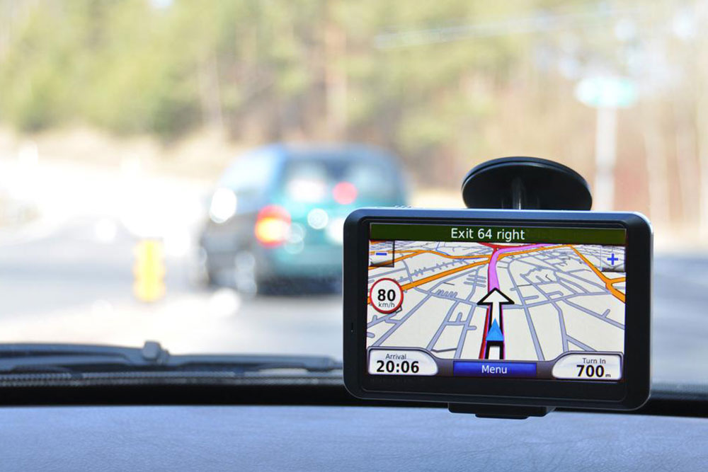
Vehicle navigation is one application of all the aspects of GPS Systems that the common man uses the most. With the advent of smartphones which are GPS-incorporated, car navigation has become immensely popular. However, it has introduced a limitation that an internet or a mobile service is necessary for its operation. These navigation systems are equipped with various other facilities that has made driving safer and more relaxed activity. This write up tries to explain the intricacies of the system in jargon free language. There are various devices in the market with many added features.
The navigation device has the following elements.
- The GPS antenna receiver receives the signals from the satellite.
- The direction sensor provides the direction in which the vehicle is travelling.
- The speed sensor provides the speed of the vehicle and the system calculates the distance has yet to travel to reach the destination.
- The display screen to show the navigation computer output.
- The Map data base checks the information from the antenna and sensors against the map database and sends the outputs to the display screen using the control circuitry of the navigation computer.
- Navigation computer, which is the brain of the system. It compares the information received from the antenna, the various onboard sensors and compares them with the map database and determines the vehicle’s exact present position, and calculates the time of possible arrival at destination, taking into consideration the remaining distance, vehicle speed etc. It shows the remaining distance to the distance also.
Another important function the navigator has to perform is route selection and constantly monitor traffic on this and other parallel routes to avoid traffic congestion and resulting delays.
These functions it performs by using the four following databases.
- Road Network data, road configuration, connection conditions, attributes etc.
- Background data, which gives information like rivers, shorelines, railroads, contours etc.
- Site information data, such as building names, addresses, representative structures etc.
- Voice data voice guidance – The current location is determined consulting current location details. Then, it finds the destination and setting using the destination details. Third, the route to the destination is searched and fixed. Finally, it searches for a route that is shortest and quickest, and recommends the same to the driver.
Background data are searched to provide guidance using the voice guidance. Route details are displayed. Finally, it collates information received from various agencies like traffic police other drivers and informs of traffic congestion. All in all, it makes driving to any destination hassle free and smooth.


